|
Also by this author: 
|
From the PrefaceThe impulse to write Iter Tolkienensis came from a book by Steve Ponty: Middle-earth in Magic Mirror Maps of Wales … of the Wilderness in Wales … of the Shire in England (Matador, 2014). The insight of Ponty’s book is that the maps in The Hobbit are the mirror images of the maps of Wales. Ponty’s insight prompted me to return to a question that I had raised in my article "The Linguistic Landscape of Tolkien’s Shire" in A Tolkienian Mathomium (2006), where I equated the real-world Bredon with Bree Hill of Middle-earth due to both a correlation of meaning and of location. "The suggestion is intriguing," I noted, "and certainly begs to be followed up on, but that is another story." Iter Tolkienensis is the story that I should have told, but didn't after my article. It starts in Buckland (near Evesham), proceeds west (Middle-earth east) to Bredon Hill, and then follows the road into Wales that is known in its latest incarnation as the M50 and the A40. The name Iter Tolkienensis is an echo of the book title Iter Britanniarum, an extract of the Roman Roads of Britain from the Antonine Itinerary, a famous itinerarium, or list of the Roman stations and the distances between them along the various roads of the Roman Empire. Though the selection of the route is admittedly arbitrary, it nevertheless offers a good assortment of real-world place names that can profitably be viewed through a Tolkienian lens, which is a linguistic perspective that begins with a name or a word, and then looks for its story in the real world with which Tolkien was familiar. Tolkien’s famous letter to Rayner Unwin (L.249-251) about the translation of the toponymy of The Shire is often quoted in serious analyses of Tolkiennymy, but one of the points in Tolkien’s letter that is seldom, if ever, quoted is the one that says that “the toponymy of The Shire … is a ‘parody’ of that of rural England” which requires “some acquaintance with English toponymical history” (L.250). One of Tolkien’s special interests was toponymy, a niche field in linguistics that studies place names and their meanings. This is the kind of knowledge that Tolkien means when he says that ‘some familiarity with English toponymical history’ is necessary to understand his parody of the place names of rural England. One goal of Iter Tolkienensis is to provide readers with the knowledge necessary to get some of Tolkien’s toponymical jokes. Iter Tolkienensis will, therefore, look at the meanings and stories of the place names that the route passes along the way; place names that might be translations or corruptions of those on a map of Middle-earth. Iter Tolkienensis passes places that could be:
to name but a few. Along the way, Iter Tolkienensis will reveal the:
plus many other interesting stories. Includes maps, B&W illustrations, bibliographic references and index. Pagination: xxxvii + 336. Trade Paper $14.95 |
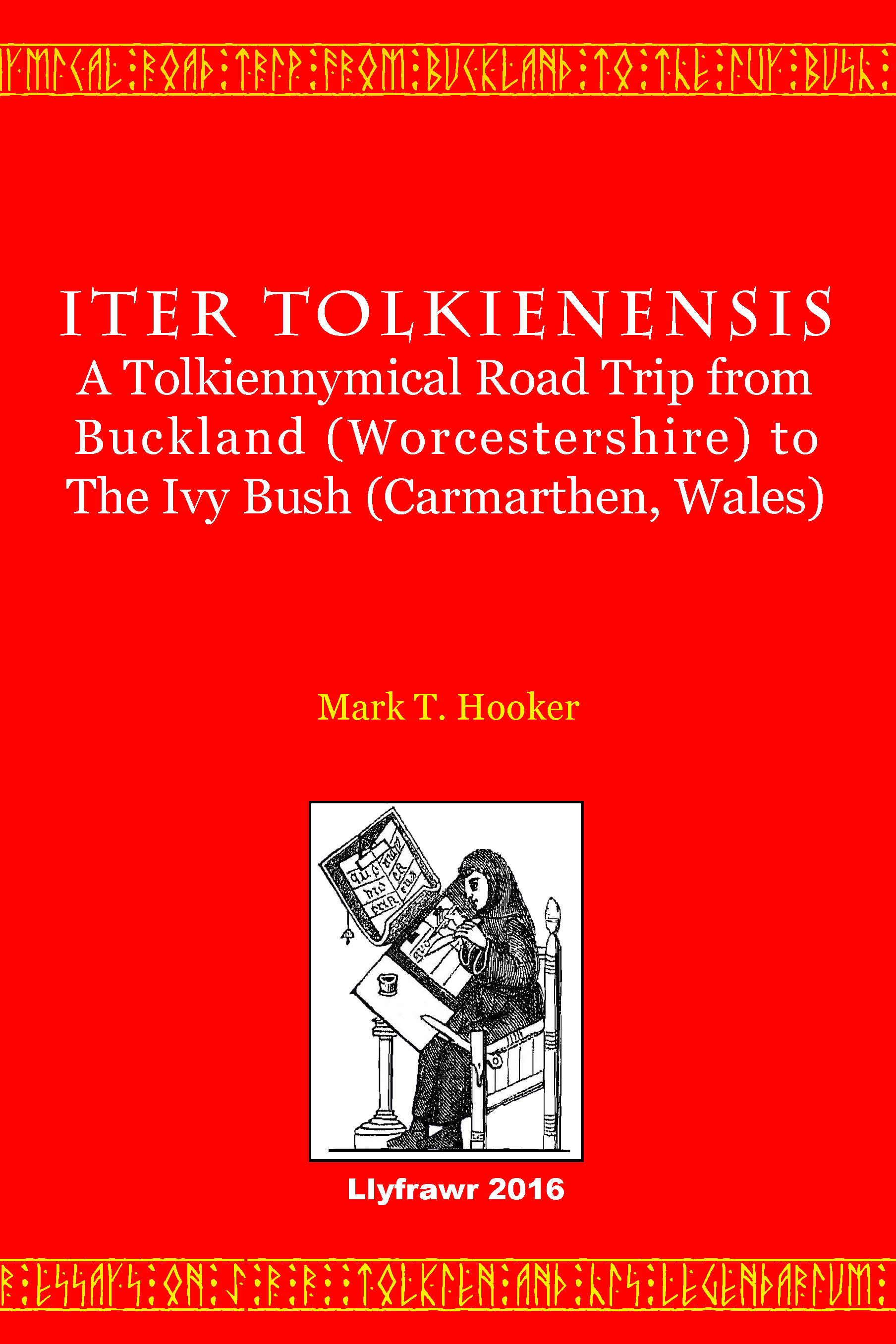
Someone asked “Why does the title Iter Tolkienensis use the Latin suffix –ēnsis instead of the suffix –ian that was used in the title of my earlier volume A Tolkienian Mathomium?” The suffix –ēnsis is a cheap joke that only a linguist could love. This suffix is added to a toponym (Tolkiennym) to form an adjective. It was chosen, because Iter Tolkienensis is “a toponymical road trip” that looks at look at the meanings and stories of the place names that the route (Iter) passes along the way from Buckland (Worcestershire) to The Ivy Bush (Carmarthen, Wales).
Compare:
- Universitas Oxoniensis
- Universitas Cantabrigiensis
- Universitas magistrorum et scholarium Parisiensis
- Universitas Iagellonica Cracoviensis
To learn more about the book, follow the links below.